


surveying has changed how we map land plan construction projects and analyze geographic spaces. With drones and photogrammetry becoming common accuracy is more important than ever. One key element that ensures results in aerial mapping is the use of ground control points.
These reference markers help connect imagery to real-world coordinates making it possible to produce precise and trustworthy maps.
What Are Ground Control Points?
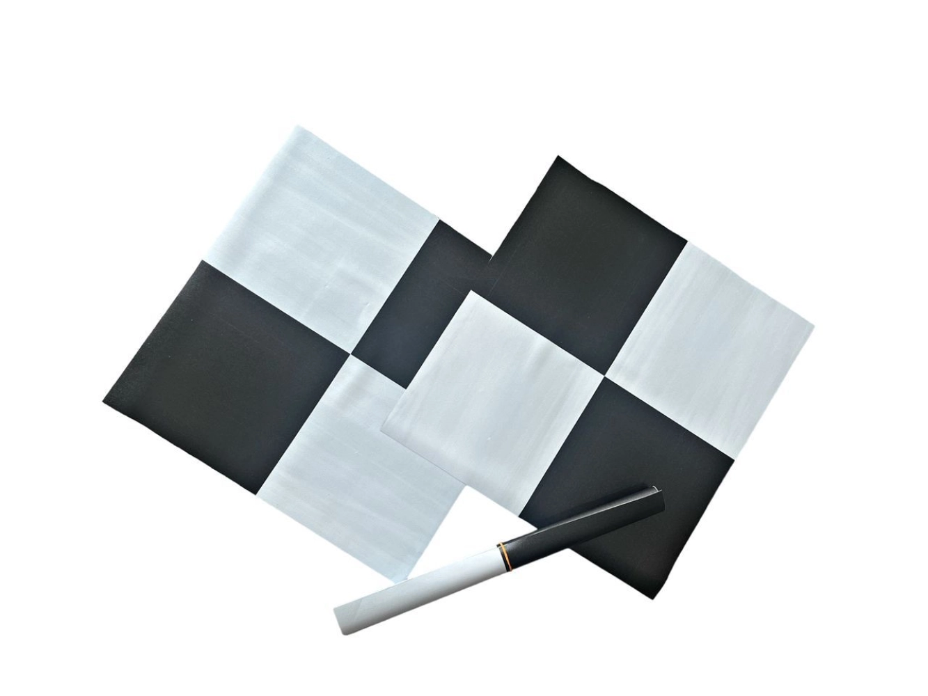
In surveying, ground control points are physical markers on the earths surface with known geographic coordinates. We measure these points using high-precision GPS or traditional surveying techniques.
When we process drone images these markers act as reference points that align the data with real-world positions.
Key Characteristics:
-
Fixed and clearly visible from imagery
-
Assigned accurate latitude, longitude and elevation values
-
Used as reference points during photogrammetry processing
-
Essential for improving accuracy
Without these reference markers aerial maps may shift or distort making them less reliable.
Why Accuracy Matters in Aerial Surveying
Many industries rely on geospatial data. Even small errors can lead to mistakes in construction planning, agriculture monitoring or infrastructure development.
Drones capture aerial imagery but it still needs correction and alignment. Ground control points help ensure that every pixel on the map reflects the correct real-world position.
How Ground Control Points Improve Mapping Accuracy
When we process drone data in photogrammetry software the system matches images. Creates a 3D model. Without referencing the model may drift from true coordinates.
Ground control points help by:
Aligning drone images with real-world coordinates
-
Reducing errors in maps
-
Improving elevation accuracy in terrain models
-
Enhancing spatial consistency
-
Supporting measurement outputs
By anchoring the dataset these points significantly improve the reliability of aerial survey results.
Applications in Aerial Surveying
Ground control points are used across industries that depend on accurate mapping and geospatial analysis.
H3: Construction and Engineering
They help engineers create site plans monitor progress and ensure structural alignment with ground control points.
H3: Agriculture
Farmers use maps for crop monitoring, irrigation planning and yield analysis with improved precision using ground control points.
H3: Mining and Land Development
Surveyors rely on terrain models to measure excavation volumes and plan land use efficiently with the help of ground control points.
H3: Urban Planning
City planners use maps for infrastructure development, zoning and road design with ground control points.
Best Practices for Using Ground Control Points
To achieve results proper placement and measurement of control markers is essential.
Recommended practices include:
-
Distribute points across the survey area
-
Place markers in visible and stable locations
-
Use high-precision GPS equipment for coordinate collection
-
Ensure markers are clearly visible in drone imagery
-
Verify data before processing in mapping software
Following these practices helps improve data consistency and reduces errors during processing.
Ground Control Points vs Check Points
While they may seem similar they serve purposes in aerial surveying.
-
Ground control points are used to calibrate and align the dataset.
-
Checkpoints are used to verify accuracy after processing.
Both work together to ensure quality geospatial output but they are not interchangeable.
The Role of Ground Control Points in Modern Mapping
With advancements in drone technology and photogrammetry software some systems now offer GPS-enabled drones that reduce the number of required control markers. However for high-precision work ground control points are still essential for ground control points.
They remain a trusted method for:
-
Survey-grade mapping
-
Engineering projects requiring centimeter-level accuracy
-
Legal land documentation
-
Large-scale topographic surveys
Even as technology evolves these reference points continue to play a role in ensuring mapping accuracy with ground control points.
Conclusion
Aerial surveying has made data collection faster and more efficient. Accuracy still depends on proper calibration with ground control points. Ground control points provide the stability and precision needed to transform raw drone imagery into geospatial data.
By anchoring maps to real-world coordinates with ground control points they ensure that survey results are both accurate and actionable. For professionals in construction, agriculture and geospatial analysis, understanding and using these control markers correctly is essential, for achieving high-quality outcomes with ground control points.

 Arabic
 French
 Spanish
 Portuguese
 Deutsch
 Turkish
 Dutch
Dutch
 Italiano
 Russian
 Romaian
 Portuguese (Brazil)
 Greek
Greek